MAGLIĆ · HIGH-MOUNTAIN ASCENT
Climb to the highest summit in Bosnia and Herzegovina, then descend through wild limestone terrain towards the heart-shaped Trnovačko Lake.
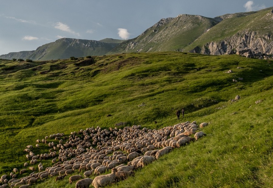
At 2,386 metres, Bosanski Maglić is the highest point in Bosnia and Herzegovina—but the number tells only part of the story.
The journey begins on the high plateau of Prijevor, where the forest opens towards the steep limestone face of Maglić. From here, the route climbs through mountain pine, loose rock and exposed upper slopes, with protected cable sections guarding the most demanding passages.
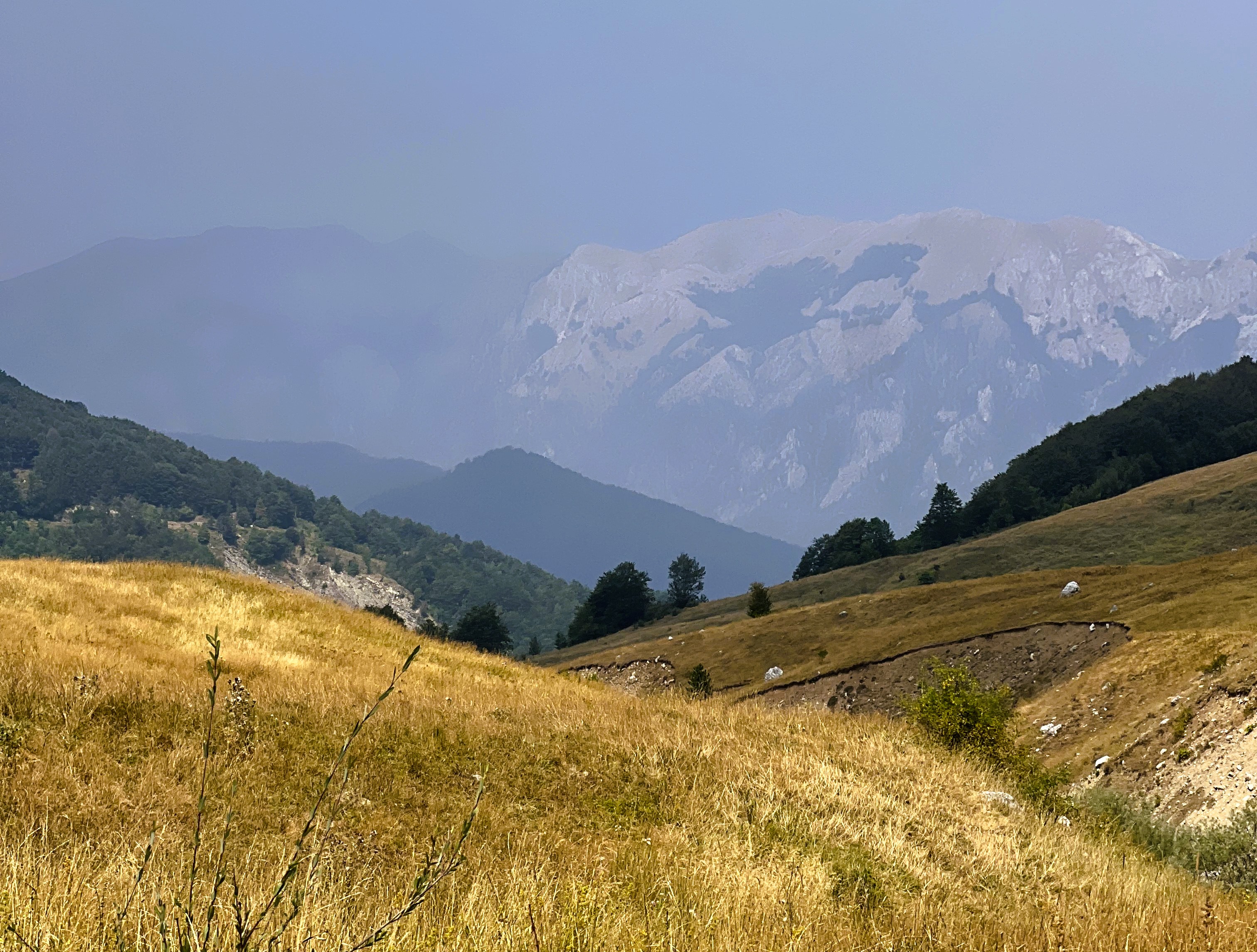
Reaching the summit brings a remarkable change of perspective. The mountains of Sutjeska stretch in every direction, the border between Bosnia and Herzegovina and Montenegro disappears into the landscape, and the distinctive outline of Trnovačko Lake lies far below.
When conditions allow, the experience continues beyond the summit, descending towards the lake before completing the long return to Prijevor. It turns a peak ascent into a complete high-mountain journey—rock, altitude, wilderness and water in a single unforgettable day.
The adventure begins before the first step. An off-road transfer leads deep into Sutjeska National Park, leaving the main valley behind and climbing towards the remote plateau of Prijevor.
From the plateau, the trail rises steadily towards Maglić. Forest and mountain pine gradually give way to scree, exposed limestone and an increasingly expansive view across the surrounding peaks.
The final ascent includes steep scrambling and sections protected by fixed cables. They are not technically comparable to a long sport via ferrata, but they require secure movement, concentration and comfort with exposure.
At 2,386 metres, the summit of Bosanski Maglić is the highest point within Bosnia and Herzegovina. From the ridge, the view extends across Volujak, Bioč, Zelengora and the mountains of northern Montenegro.
Trnovačko Lake appears below the mountain as a deep green heart set among limestone peaks. On the longer circuit, it becomes a place to rest after the summit before beginning the final return.
This is not a quick summit photograph followed by the same path down. The preferred route combines a steep ascent, an exposed summit, a rugged descent and a return across the borderland landscape surrounding Trnovačko Lake.
| Location | Sutjeska National Park |
| Main summit | Bosanski Maglić, 2,386 m |
| Starting area | Prijevor plateau, approximately 1,660 m |
| Typical route | Prijevor – Maglić – Trnovačko Lake – Prijevor |
| Walking distance | Approximately 12–13 km, depending on the route |
| Elevation gain | Approximately 1,000–1,250 m across the full circuit |
| Walking time | Approximately 7–9 hours |
| Total experience | Usually 10–12 hours with transfers and stops |
| Terrain | Steep trail, scree, scrambling and fixed cable sections |
| Experience level | Challenging |
| Group format | Private, small group |
| Best period | Usually summer to early autumn, subject to snow and conditions |
The figures are intentionally approximate because the final route, access point and inclusion of Trnovačko Lake depend on weather, trail conditions and the group’s pace.
For strong hikers looking for a genuine high-mountain objective rather than a casual summit walk.
Participants should have:
Previous via ferrata experience is useful but not essential when the route is dry and the guide considers the participant ready. However, Maglić is not suitable as a first mountain hike or for travellers uncomfortable with exposure.
The strongest version of the experience: ascent from Prijevor, summit of Bosanski Maglić, descent towards Trnovačko Lake and return across the high mountain landscape.
Best for: experienced and very fit hikers who want the complete journey.
A route selected according to the group’s experience, weather and terrain conditions, without promising the full lake circuit in advance.
Best for: capable hikers who want to reach the summit but would benefit from a more flexible plan.
This flexibility fits Borova perfectly: we sell the mountain experience, not one rigid itinerary that must be followed regardless of conditions.
Maglić combines steep terrain, loose rock, exposed passages and rapidly changing mountain weather. Rain can make the limestone and cable sections unsafe, while lingering snow may remain on the upper route well beyond spring.
Access to Prijevor also involves a rough mountain road, making appropriate local transport an important part of the experience.
The local guide or operating partner may:
Reaching the summit can never be guaranteed. Every final decision is based on weather, terrain and the ability of the group on the day.
The responsible local partner confirms the final itinerary, guide, price, inclusions and booking terms before you reserve.
Final inclusions would depend on the personalised itinerary.
Tell us about your hiking experience, fitness and preferred travel dates. We'll assess whether the complete Maglić circuit is right for you—or shape a different way to experience the wild landscapes of Sutjeska.
Plan this experience →
© 2026 Borova. All rights reserved.
.svg)